Tongariro Alpine Crossing: The Complete Seasonal Survival Blueprint
A comprehensive breakdown of safety, volcanic monitoring, and packing essentials for the North Island's volcanic heart.
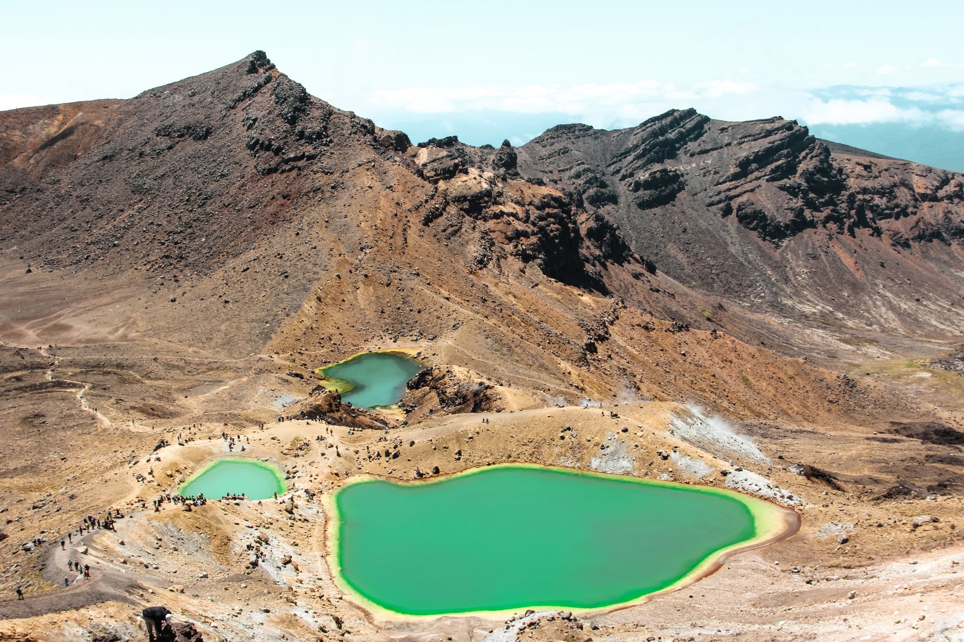
The Tongariro Alpine Crossing spans 19.4 kilometers through the UNESCO dual World Heritage site of Tongariro National Park. While frequently described as New Zealand's greatest single-day hike, the crossing leads trampers across an active volcanic terrain prone to violent weather shifts within minutes.
Understanding the Volcanic Hazard
Mount Tongariro, Mount Ngauruhoe, and Mount Ruapehu remain active volcanic centers managed by GeoNet and the Department of Conservation. Hikers must respect sacred Maori volcanic peaks (tapu) by refraining from climbing to the summits of Ngauruhoe and Tongariro out of cultural respect. Always verify the current Volcanic Alert Level before crossing Mangatepopo road end.
Alpine Exposure and Route Pacing
The climb from Soda Springs to the South Crater, often referred to as the Devil's Staircase, elevates hikers from 1,400 meters to 1,600 meters above sea level. Above the treeline, there is zero shelter from relentless gale-force winds and UV radiation.
- Water: Minimum 2.5 to 3 liters per individual. Streams in the volcanic zone contain mineral sulfur and are undrinkable.
- Apparel: Thermals, windproof outer layer, and sturdy high-ankle tramping boots with rigid soles.
- Turnaround Point: If conditions at the South Crater show zero visibility or sub-zero squalls, turn back immediately.
Questions on Seasonal Trail Conditions?
Reach out to our tramping guides for winter gear recommendations and transport arrangements.
Ask A Route Question